 Save Geometry 儲存幾何變更
Changes Save geometry changes to an existing
feature.儲存幾何變更到現存物件

Proceed To Attribute
Capture 繼續獲取屬性
End the geometry capture of a new
feature and proceed to capturing the feature’s attributes.停止新物件的幾何獲取及繼續獲取物件屬性

Undo 復原
Undo the last edit made to a feature.
復原先前對物件的編輯.

Pen Toggle 用筆獲取
Enable or disable use of the stylus for
capturing new features.啟動或關閉用筆獲取新的物件.

Cancel 取消
Cancel edits to an existing feature’s
geometry or cancel capture of a new feature.取消現存物件幾何編輯或取消新物件的獲取

Add GPS Vertex 使用GPS獲取點
Capture a single vertex in the current
polyline or polygon feature using the current GPS position.在可編輯圖層中使用GPS獲取點

Add GPS Vertices
ContinuouslyGPS 獲取頂點
Continuously capture vertices in the
current polyline or polygon feature using the current GPS position.使用當前GPS位置位為目前的線或多邊形獲取頂點
Reference to ESRI® ArcPad® 10 Quick Reference
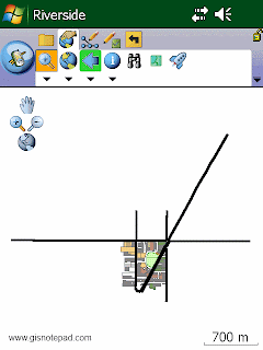
 Zoom In 放大

 Zoom To Full Extent 縮放至整個範圍

 Go Back To Previous Extent 返回上一個範圍


 Proceed To Attribute
  Undo 復原
 Pen Toggle 用筆獲取
 Cancel 取消
 Add GPS Vertex 使用GPS獲取點
 Add GPS Vertices
 Quick Reference
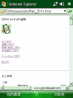
 ESRI Support Center
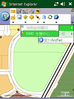
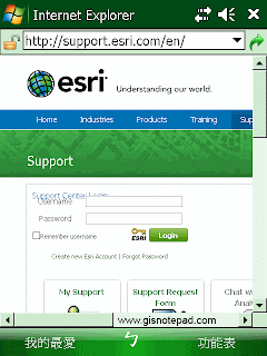
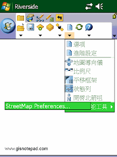
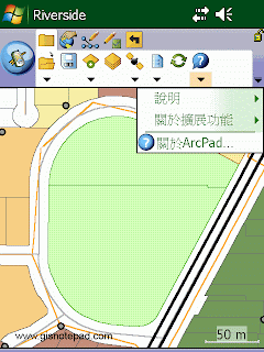
 About Extension
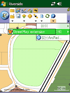
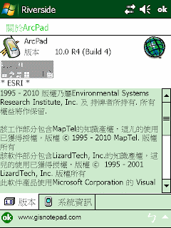
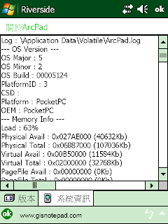
 About ArcPad
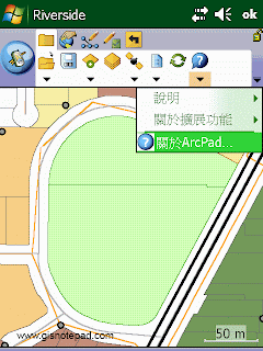

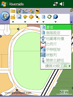
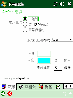
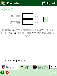
 Advanced Settings
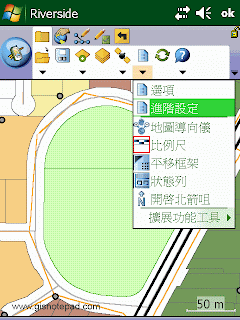
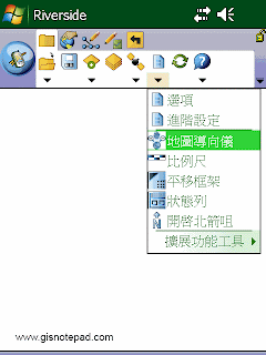
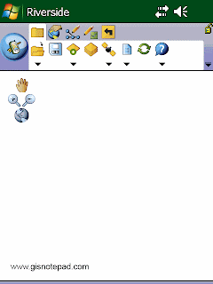
 Map Navigator
 Scale Bar
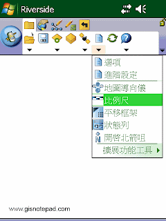
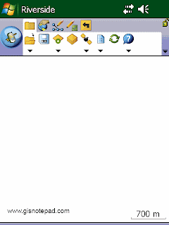
 Panning Frame
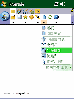
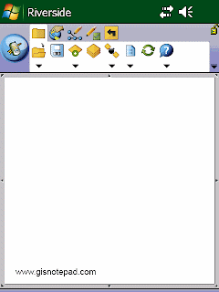
 Status Bar
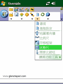
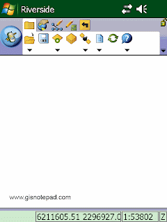
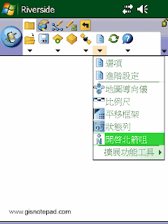
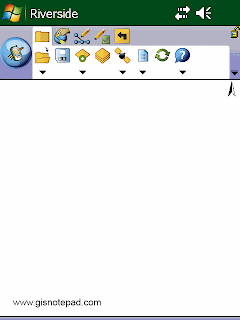
 North Arrow 指北針
 Extension Tools